An overview of Beautiful Rolwaling Valley
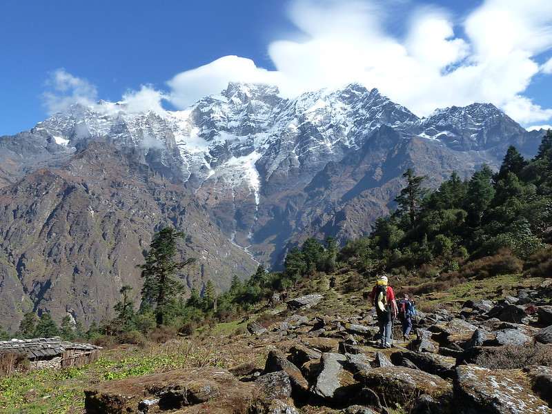
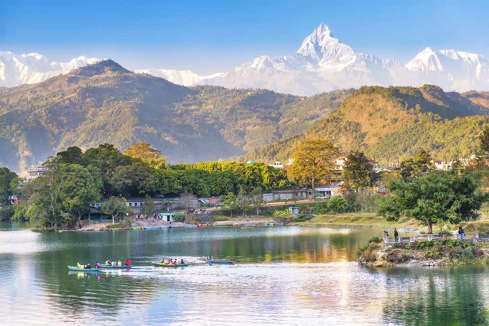
The (Rolwaling Valley), also known as the (Gaurishankar) rural municipality, is a Himalayan valley in east-central Nepal that runs parallel to the Tibet border. Melungtse 7181m and Melungtse II 7023m are inside Tibet, while Gaurishankar 7134m is on the Nepal border, with another 50 peaks above 6000m, all extending southwest from the Nangpa La pass, where the Mahalangur portion begins, to the Tamakohii River. To the northwest, the LabucheHimal portion rises over the Tamakoshi. The RolwalingHimal is bordered on the south by the Rolwaling Valley, which contains several tiny sherpa villages such as Tasi Nam, Simigau, and Bedding. Tasi Nam is the area's major town.
After crossing the Tasilapcha pass, it takes five to six days to reach Namche Bazaar (5755 m). Visitors can hike over Tasilapcha to Everest base camp or fly from Kathmandu to Lukla. The valley and mountains of the range may be reached on foot by a well-established trail system that begins in Jagat, Bhiku rural municipality (230 km east of Kathmandu). By local bus, it takes ten hours (5–6 hours by private automobile). A four- to five-day western-style journey from Jagat to Bedding is typical. Bedding may be reached by two routes: Tasinam village or Simigua. Trekkers can reach Daldung la pass (at 4500 m) from Tasinam and enjoy the spectacular landscape. Species, cultures, flora, and wildlife of the Himalayas TshoRolpa (also known as ChhoRolpa) are one of Nepal's largest glacier lakes. The lake in Dolakha'sRolwaling Valley, which is located at an elevation of 4,580 meters (15,030 feet). Gaurishankar Rural Municipality governs Rolwaling Valley. Eric Shipton undertook the first Western investigation of the area in 1951 while on a reconnaissance mission to Mount Everest. Rolwaling is home to a cave that some Buddhists regard as sacred and visit for meditation.
The Rolwaling Valley walk, which runs parallel to Tibet, is a reasonably tranquil hike. The Rolwaling Valley's largest community is Bedding, a Sherpa community located three days' walk from GongharKhola. This journey can be combined with Everest via TashiLapcha La (5755m), but you will require climbing experience, guides, and another set of permits to do so. TshoRolpa (4580 meters) is one of Nepal's largest glacier lakes. If you're returning to GongharKhola, this is where you'll turn around.
What should you prepare to trek to Rolwaling Valley?
Trekking is only permitted with a permit. If you are doing this trek in the winter, it is unlikely that your permit will be checked (except possibly if you walk past the small office just before the bridge in Singati). It is not necessary to use TIMS. Install the maps and different navigation apps. It's a great way to figure out distances, and many walking paths are well-mapped. If the path splits and you don't have a guide or a helpful local nearby, this will come in handy. Diet for mountain dwellers. Noodles, dal bhat, and fried rice There are no set menus like Annapurna, and the cheapest option is Dal Baht up. Instant noodles in a bowl. Tea that is black in color. You won't find many shops once you leave the highway, so bring plenty of supplies. Remember to bring water purification tablets, iodine, and other supplies.
How to start your trek?
Direct buses leave Kathmandu for ChhetChhet and Dolakha from the city's historic bus station (next to Ratna Park). This is close to the Nepal Tourist Board, where you may get your hiking permit. There are two buses, one leaving at 6 a.m. and the other at 8 a.m., but double-check the times and consider reserving tickets the day before. ChhetChhet Bazaar marks the start of the trip. On a difficult road, the travel takes about 8 to 10 hours. Alternatively, take a bus to Charikot (NPR 330) and then another to Lamabagar, getting off at Chhetchhet.
