Places
Geography of Nepal
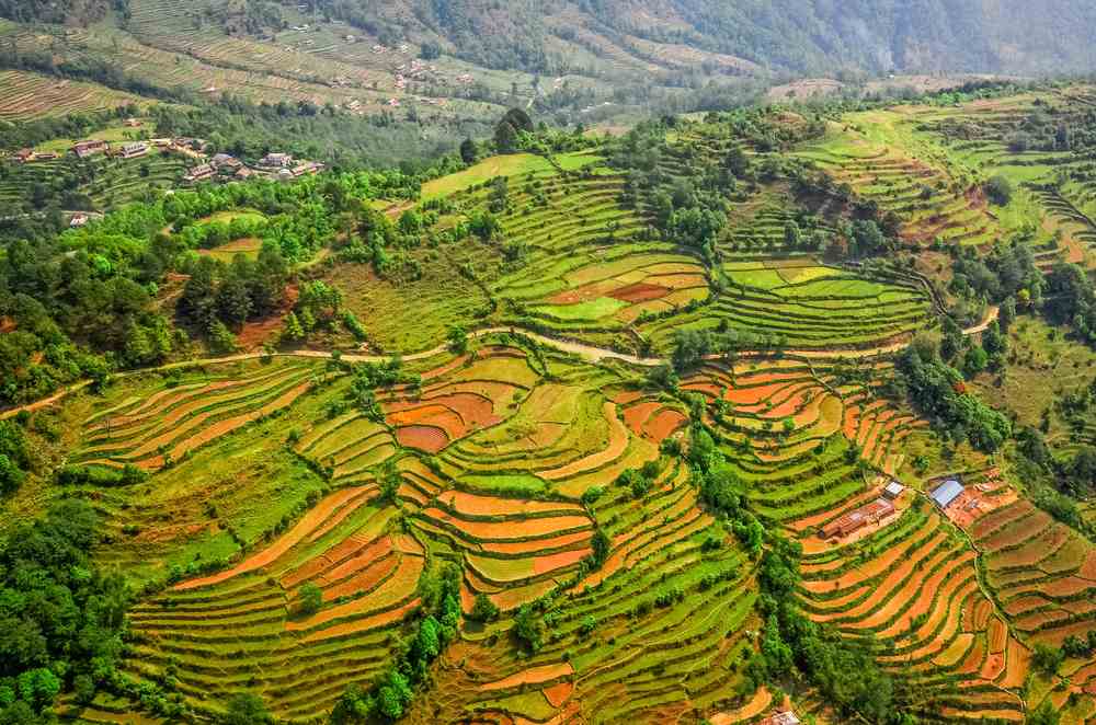
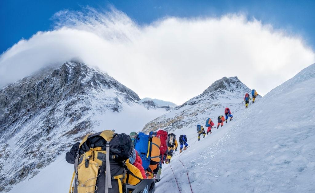
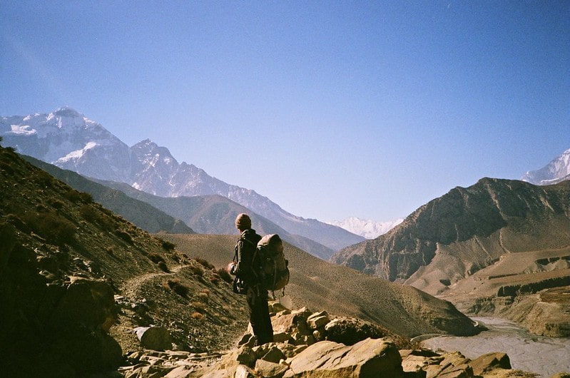
In South Asia, Nepal is landscaped and China is in the North; and India is in the South, East, and Western regions. The country covers a total area of 147,516 square kilometers and covers an area of 28°N to 84°E. Nepal falls north of the Tropic of Cancer in the temperate area. It is approximately 800 km from east to west, while only 150 to 250 km from north to south. Nepal has extensive water systems that drain into India south. The region of the Himalaya region, the middle hill region, and the Tari region can be divided into three main geographic regions. Mt. Everest (8,848 m) is the highest point in the country, while the lower point in the KechanaKalan plains of Tarai in Jhapa (60 m). 1) The Himalayan Region: Almost 16% of Nepal's total land area is covered by the Himalayas. The mountainous region or Parbat begins at 3000m high ridges which leads to mountain pastures and treelines limited to 4000m, with snow lines starting from 5000m. The Everest Mountains (8848m), Kanchenjunga (8586m), Lhotse (8516m), Makalu (8463m), Cho Oyu (8201m), Dhaulagiri (8167m), Manaslu (8163m), and Annapurna have the highest eight out of fourteen mountains over 8000 m...
Read-more